
Recently, I started my Trail Adventure Channel on YouTube (you’ll find the link in the navigation bar).
It’s nothing fancy—just me sharing simple hiking vlogs, filmed in Japan’s countryside. Real walks, real sweat, no fancy edits. Just me, a camera, and the sound of the forest.
I began the channel mainly because I wanted to vlog more and put my camera gear to good use. But there’s a deeper reason behind it. I needed something that pushes me to get outdoors more often, to move my body, and to stay active. Now that I’m approaching 50, I’m taking both my mental and physical well-being more seriously than ever.
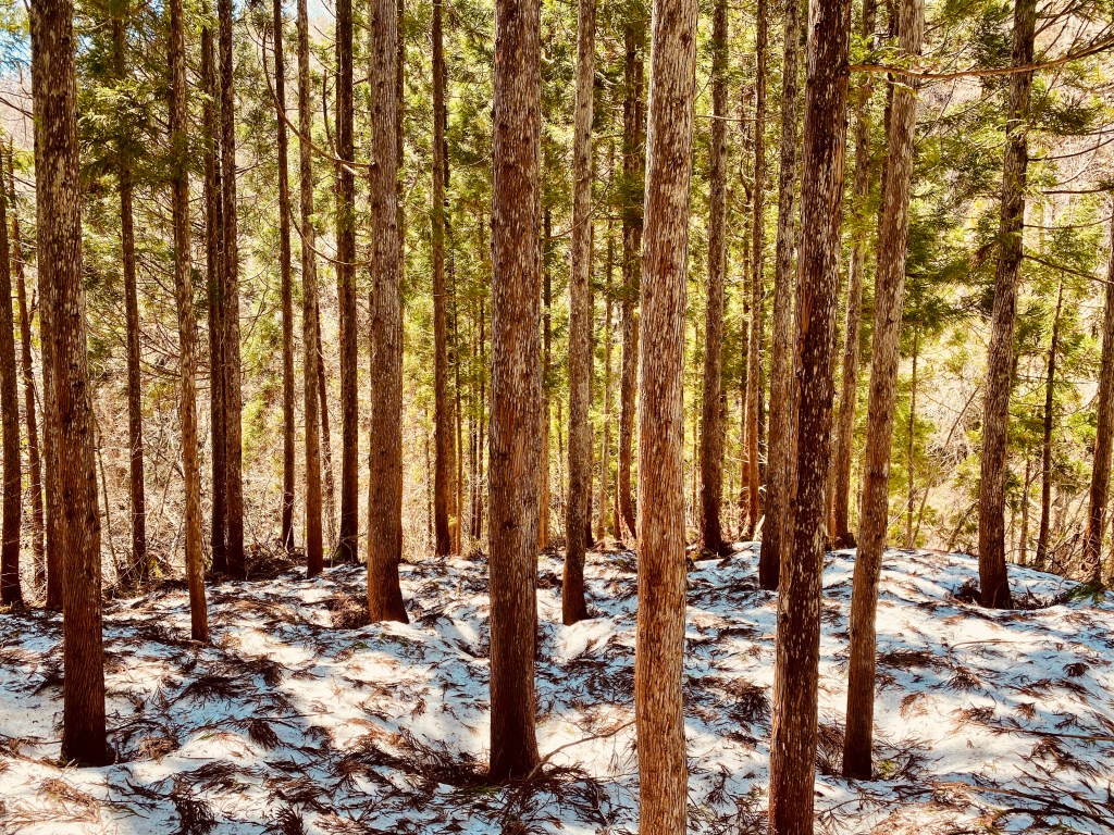
Living in Gifu Prefecture, surrounded by rivers, cedar forests, and mountains, gives me the perfect environment for that. Trails wind through lush greenery, small shrines hide among the trees, and sometimes wild deer appear out of nowhere. It’s peaceful, grounding, and endlessly inspiring.
Finding Trails Beyond Mount Kinka
For a while, I kept climbing Mount Kinka in Gifu City. It’s beautiful, especially with the castle on top, but after many hikes, I started craving new scenery and challenges.
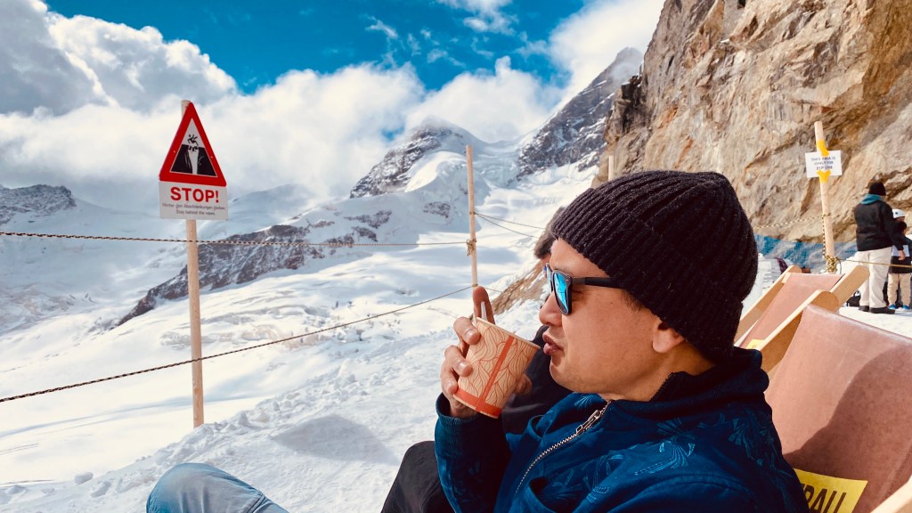
Last Friday, I went hiking at Mount Dodogamine for the second time. It was fun—but somewhere along the way, I got lost. I ended up retracing my steps back to a junction before finally finding the path to the observatory deck. It turned into a longer hike than planned, but also a small adventure that reminded me how easy it is to lose direction in nature if you’re not well prepared.
Now that I’m hiking more than once a week, I want to plan my routes better, avoid getting lost, and gradually discover all the lesser-known trails around Gifu and beyond.
Discovering the Right App for Japan’s Trails
To find new trails, I first tried AllTrails and Google Maps. They helped a little, but neither showed enough detail for rural Japan. Many local routes weren’t listed, and trail conditions were unclear.
After some research, I stumbled upon Yamap—the most widely used hiking and outdoor activity app in Japan. I downloaded it on my iPhone, created a free account, and after testing it briefly, upgraded to the premium plan. It turned out to be the right decision.
Why Yamap Stands Out
Yamap is more than just a map app—it’s like a digital hiking partner built for Japan’s mountains. Here’s what makes it special:
- Offline Maps: You can download detailed topographic maps that work even without a signal—perfect for remote mountain areas.
- GPS Route Tracking: It records your route, elevation, and hiking time so you can look back on your progress or share your adventure with others.
- Trail Database: Thousands of routes with names, difficulty levels, and photos uploaded by other hikers.
- Safety Tracking: You can share your location in real time with family or friends while hiking.
- Community Insights: Other users post trail updates, warnings, and seasonal photos—great for planning your next route.
- Mountain Forecasts: Localized weather and safety alerts for every major hiking area.
What I love most is that it finally shows all the mountain names around me with detailed trails—something AllTrails and Google Maps couldn’t.
The only challenge is that some information appears in Japanese. But I actually see that as a good thing—it encourages me to improve my reading of hiragana, katakana, and kanji faster.
Now, before each hike, I download the map of my planned route, mark the checkpoints, and check recent posts from other hikers. It’s become a small ritual before I head out.
Looking Ahead
My goal is simple: to hike at least one new trail every week and share my experiences through vlogs and blog posts. Step by step, I’m building a personal trail library—a collection of quiet paths, mountain ridges, and forest walks across Gifu and neighboring prefectures.
For me, hiking is more than exercise—it’s meditation in motion. When I’m out there, hearing nothing but my breath and the wind through the trees, I feel completely alive.
If you enjoy hiking in Japan, I’d love to hear your favorite trails in the comments. And if you’re curious, come visit my YouTube channel and walk with me.
This journey is about staying curious, connected, and grateful for every step.
🎒 Gear I Use
For those who are into filming their own adventures, here’s what I currently bring along:
- Camera: DJI Osmo Action 4 + DJI Osmo 360
- Drone: DJI Avata 2 (for cinematic aerial shots)
- Microphone: DJI Mic 2
- Phone: iPhone 11 with Yamap and offline maps
- Essentials: Water, snacks, and a small first-aid kit
Nothing too fancy—just what I need to capture the journey as it happens.


Leave a comment